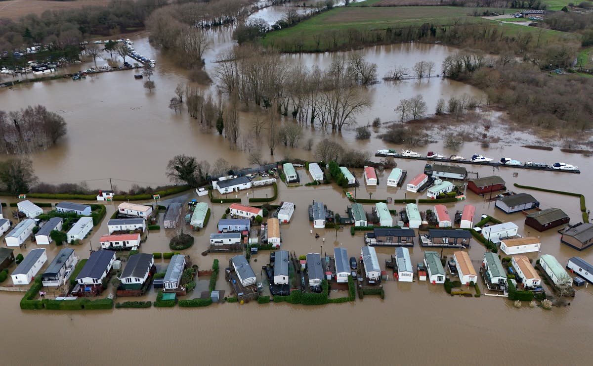
Hundreds of flood warnings and alerts are in place across the country as wintry conditions continue to cause travel disruption and school closures across the UK.
Yellow warnings for snow and ice come into force across large parts of the UK on Monday afternoon and will remain in place into Tuesday.
Many commuters suffered travel disruption on Monday morning, with major roads closed and railway lines blocked.
At 9pm, the Environment Agency had one severe flood warning, where there is potential danger to life, 186 flood warnings, meaning flooding is expected, and 302 flood alerts, meaning flooding is possible, active across England.
At the same time, National Resources Wales had two flood warnings and 16 flood alerts in place.
The map below shows all the areas in England under a flood warning:
open image in galleryThere are 186 flood warnings in place (Government flood warning service/ Environment Agency)
Alongside the 173 flood warnings, there are 314 flood alerts:
Most of the worst flooding is expected to hit the Midlands and north of England.
Manchester Airport’s runways were closed early on Monday morning because of heavy snow but later reopened.
open image in galleryThere are 302 flood alerts in place (Government flood warning service/ Environment Agency)
Hundreds of schools were closed on Monday, in areas including Lancashire, Yorkshire and north-east Scotland.
The Met Office advised people to be “prepared” for snow.
A warning for snow and ice is in place across most of south-west England and Wales, and parts of north-west England and the West Midlands, for between 5pm on Monday until 10am on Tuesday.
The same warning is in place for western and northern parts of Scotland for between 4pm on Monday until midday on Tuesday, and in Northern Ireland between 3pm on Monday until 11am on Tuesday.
open image in galleryWeather warnings for snow and ice 6-7 January (PA Wire)
There is a separate warning for snow in southern England on Wednesday from 9am until 11.59pm.
Met Office chief meteorologist Frank Saunders said: “Hail, sleet or snow showers are expected to affect parts of Scotland and Northern Ireland, spreading to Wales and parts of north-west England this evening, before moving into part of south-west England, the Midlands and southern England during the early hours of Tuesday.
“Rain or hail is more likely towards some western coasts.
“Icy stretches which develop overnight as a result of these showers, or the recent wet conditions, could bring some disruption to travel.
“In addition to the ice, we could see snow accumulations of a few centimetres above 200 metres, with a chance of greater than 5cm above 200 metres in Wales.
“The heaviest snow showers may also produce temporary accumulations of 0-2cm at low levels.
“It is not possible to say exactly where this snow might fall, so it’s important that people are prepared.”
